
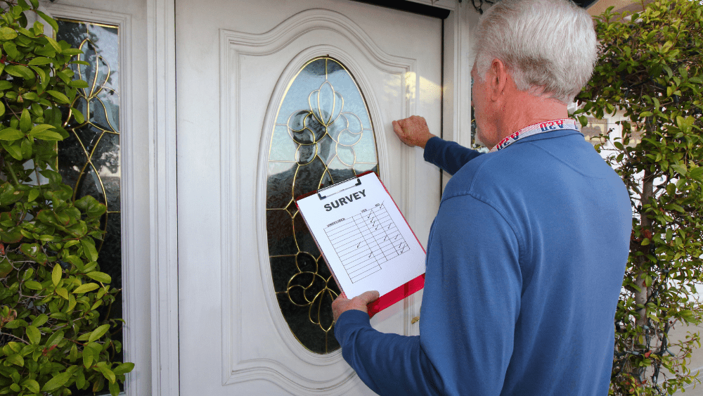
The North Park Public Water District will be conducting an asset positional survey in Machesney Park during the months of July and August in 2021. The survey will be conducted by District crews in July, followed by our subcontractor – Cloudpoint Geospatial in August. Personnel will be working from 7 AM to 4 PM, Monday through Friday. All work times and project schedules are approximate so slight deviations should be expected. Please be aware that this positional survey will cover ALL of our infrastructure that is located in road rights-of-way, easements, and alleys and so you can expect our crews to be working and marking in all of these thoroughfares.
The purpose of the survey is to locate all existing North Park Public Water District water infrastructure so that our subcontractor can survey these positions with industry-standard survey equipment. The completed survey will result in the updated mapping of District assets as well as provide a database of critical water infrastructure positions for future locating. The survey is planned to be completed in 4 segments during the summers of 2021 through 2024. They will be starting at the south end of the District in 2021 and moving north in consecutive years up into Roscoe.
The 2021 Positional Survey Area is generally described as follows:
- Between Windsor Road and Story Book Lane (Lowes Store) North/South
- Between Rock River and Forest Hills Road East/West
- Includes River Key Subdivision (west of the river)
Please visit their website to view a detailed map of the affected area for the District’s 2021 Positional Survey. Contact the District office at 633-5461 if you have any questions.